Wadi Rum is in the south of Jordan, in the Aqaba region, close to the border with Saudi Arabia. It is a protected desert of about 720 km², with Wadi Rum Village at its entrance. I was born here: let me show you where it is and how to reach it.
Wadi Rum on the map of Jordan
Imagine Jordan as a long country from north to south. Amman, the capital, is in the north. Petra is in the middle of the south. Aqaba is at the very bottom, on the Red Sea. Wadi Rum is between Petra and Aqaba, a little to the east, in the desert.
From the Desert Highway, the main road between Amman and Aqaba, a small road leads east to Wadi Rum. After the Visitor Center, it ends at Wadi Rum Village. Beyond, there are no more roads: only sand tracks.
Open Wadi Rum Village on Google Maps
Distances from Amman, Petra and Aqaba
| From | Distance | By car |
|---|---|---|
| Aqaba | 70 km | about 1 h |
| Petra (Wadi Musa) | 112 km | about 2 h |
| Amman | about 320 km | 3.5 to 4 h |
Bus times, taxi prices and every route are in our guide on how to get to Wadi Rum.
Where you arrive: the Visitor Center and the village
Everyone stops first at the Visitor Center to pay the entry (7 JOD, free with the Jordan Pass). Ten minutes later you reach Wadi Rum Village and the Rest House, where we meet our guests and where you can leave your car for free. Everything is explained in our guide to Wadi Rum Village and the Visitor Center.
How big is the desert?
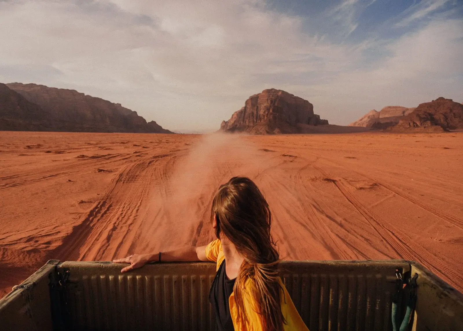
The protected area covers about 720 km² of red sand, canyons and mountains, up to Jebel Umm ad Dami, the highest summit in Jordan, near the Saudi border. The best-known sites, like Lawrence Spring, Khazali Canyon or Burdah Rock Bridge, are spread over tens of kilometres: that is why we explore by 4×4, with a guide who knows every track.
See the desert with a Bedouin guide
Half day, full day with a night under the stars, or 2 and 3 days to go further south: discover our Wadi Rum jeep tour.
— Eid, your Bedouin guide at Wadi Rum Best Tours